Cycling around Padul, Granada, Spain
04 Jul 2019Fancy doing some cycling in Spain, around the Sierra Nevada, Valle de Lecrín or La Alpujarra? Yep, I thought so. Then join me on my photo tour ride this morning. I do this loop frequently. It’s straight out the door, about 40 km with 750 m elevation gain and takes around two hours. And it’s stunning.
You can see the ride on Strava. Images and videos in this post are clickable to enlarge or play.
I started riding about 7:45 a.m.; it was quite cloudy and slightly cooler than it has been recently, about 18 °C. I live in the older part of Padul which is quite high, so I roll down to the main street and over onto Los Molinos the camino going out into the campo, an area of large allotments or smallholdings. This is flat for a few km, providing an opportunity to warm up. The road goes past an archaeological site where ancient cart tracks are eroded into the rock. It’s one of only a few sites in Europe where such tracks exist. There are good views south-east, across the Laguna and olive groves, to the Sierra Nevada and the peak of Caballo (snow capped during the winter) at 3011 m. The sound of cicadas through the olive and almond groves can be startlingly loud at this time of year.
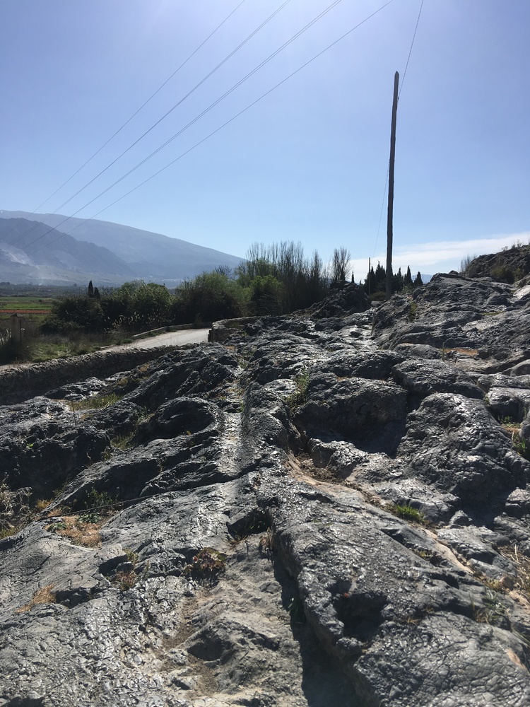 Cart tracks - a little imagination required Cart tracks - a little imagination required |
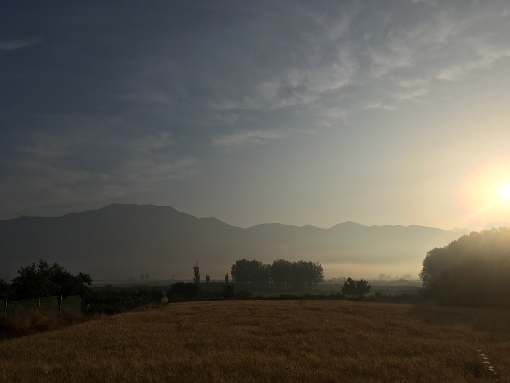 Caballo Caballo |
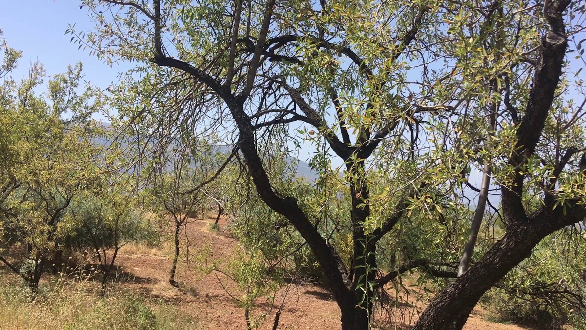 Cicada noise - click Cicada noise - click |
I leave the campo via a bumpy concrete track to join the GR-3208 to Albuñuelas passing a derelict water viaduct on the right and a bodega and vineyard on the left.
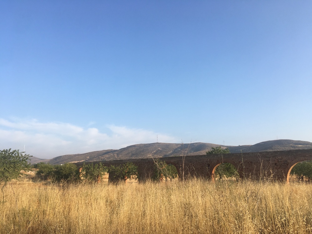 Aqueduct Aqueduct |
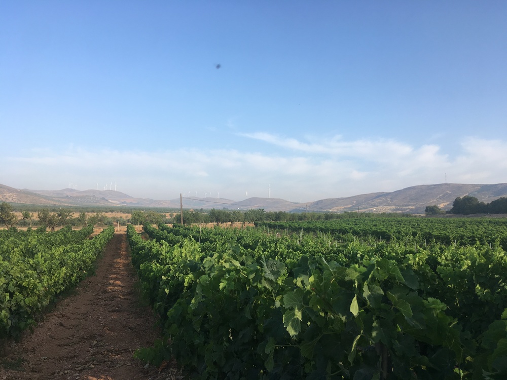 Vineyard Vineyard |
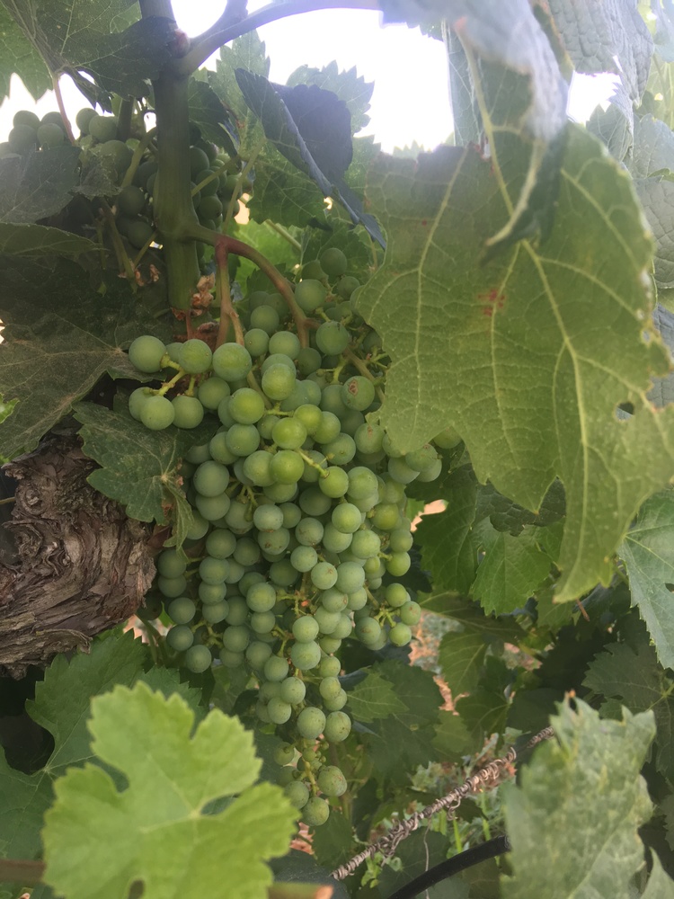 Futuro vino Futuro vino |
Past the turn to Conchar the climbing starts. On Strava, it’s 4.9 km at an average grade of about 4%. A nice lung opener. There is a quarry on the left and a couple of lorries going to and from. They leave plenty of room as they pass with a hot waft of exhaust fumes and quarry dust.
After the top a fast descent follows, wind roaring in your ears, with great views of the Lecrín Valley to the left if you can take your eyes off the road for a second.
 Above the Lecrín Valley Above the Lecrín Valley |
Cross a bridge over the barranco and start climbing again with a vertical cliff above to the right and views into the Lecrín Valley on the left. It’s 2 km at 6% up to the roundabout outside Albuñuelas. The sun is properly up now and the roadside crash barriers are making their peculiar pinging and creaking noises as they warm up and expand.
Over the past 30 years or so there has been a lot of road building and renewal in Spain and there are ghosts of old roads poking out everywhere. I find them fascinating and wonder how they were to ride.
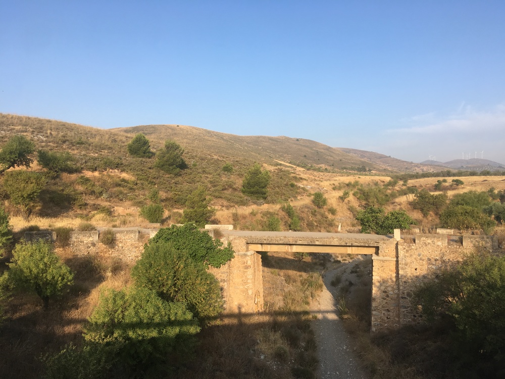 Old bridge Old bridge |
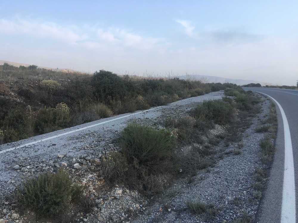 Road ghost Road ghost |
Strangely (I’ve never seen one round here before), there is a large frog/toad in the road. It seems a bit frozen, maybe it suffered a close pass. Having experienced a few over the years, I sympathize, stop, take a photo, shoo it into the gutter where it hopped off after a minute, and carry on.
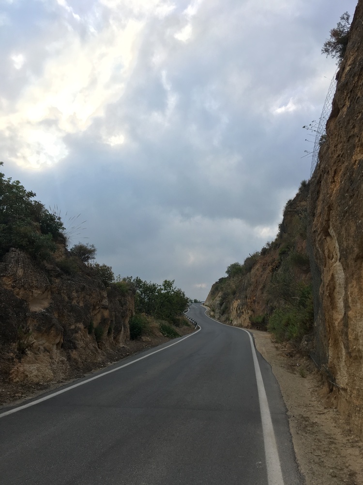 Albuñuelas cliffs Albuñuelas cliffs |
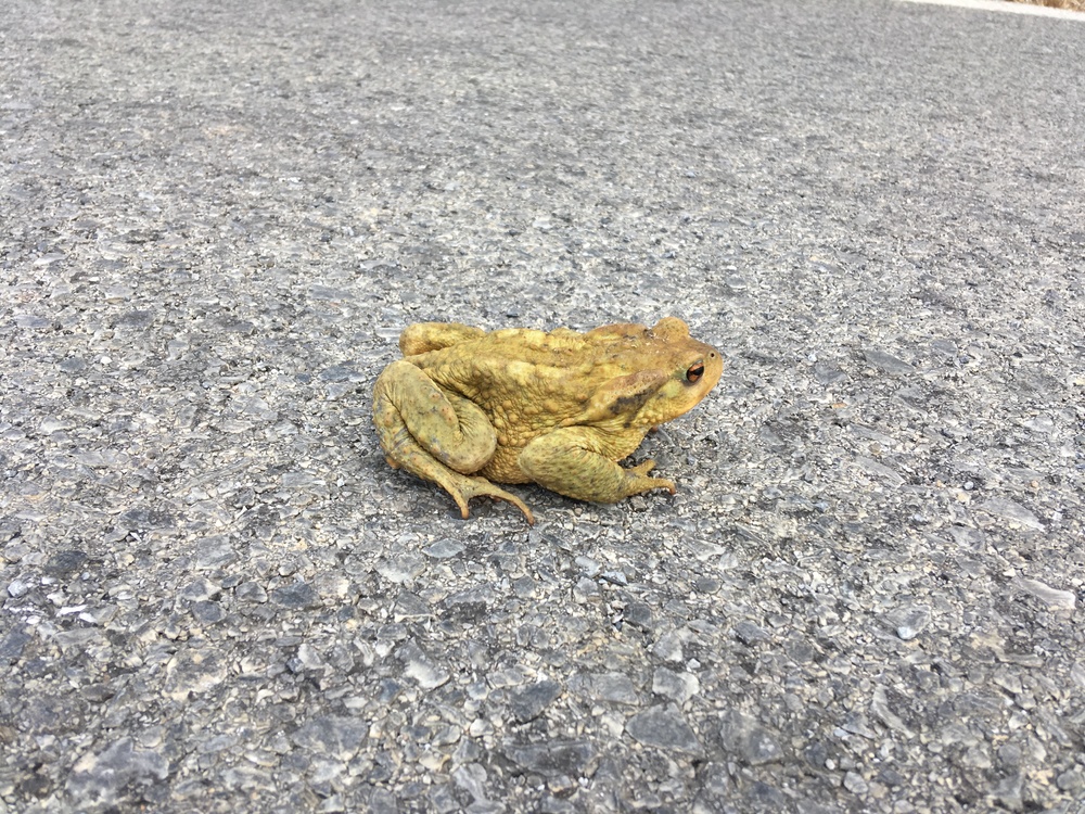 Frog/Toad Frog/Toad |
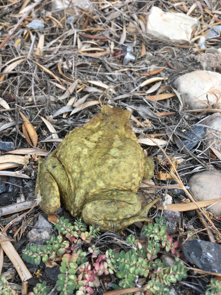 Frog/Toad Frog/Toad |
At the roundabout I pause for some water and pictures of the acequia and orange trees. The acequias are useful sources of water for splashing on your head when it’s hot. Also, most villages have a public drinking-water fountain.
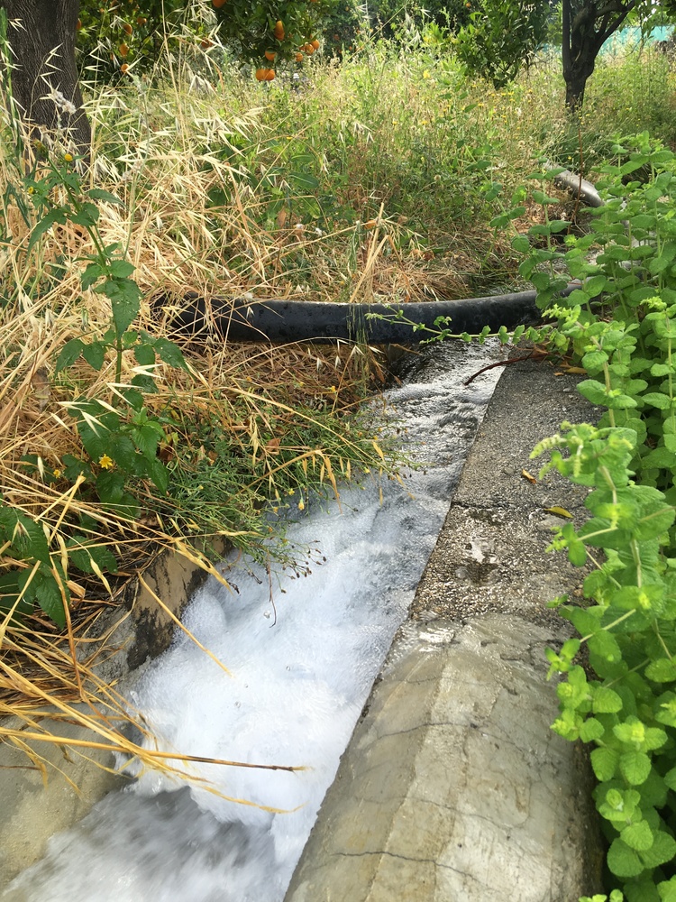 Acequia Acequia |
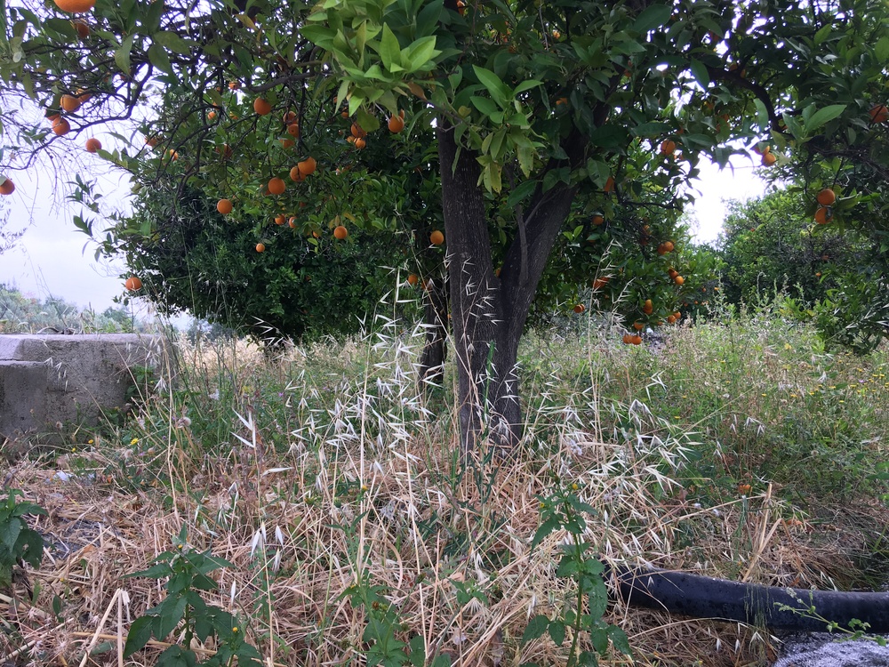 Oranges Oranges |
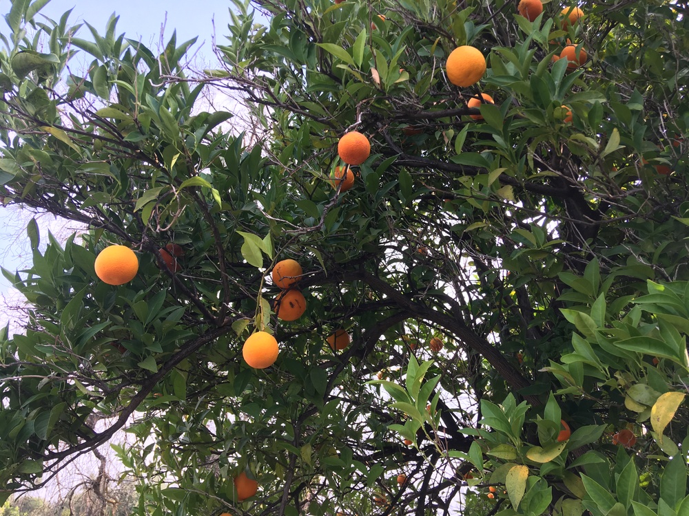 Oranges Oranges |
From here the descent is fast, steep, a bit of care is needed, there are some sharp bends. Take a little time to appreciate the Albuñuelas gorge to the right. This descent takes you down to Saleres, one of those iconic looking white mountain pueblos. Now cruise along the valley into Restabal and take a look at the strange, enigmatic water fountain/monument/shrine/garden/something before dropping a little further to the Río Izbor and Río Torrente which feed Embalse de Béznar.
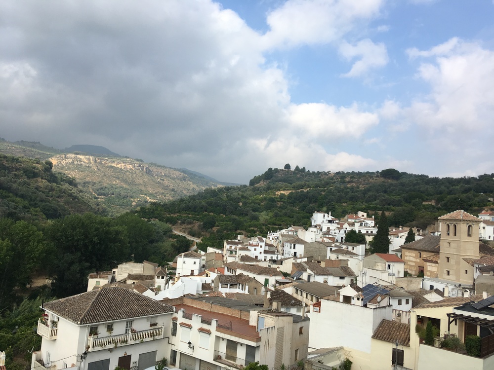 Saleres Saleres |
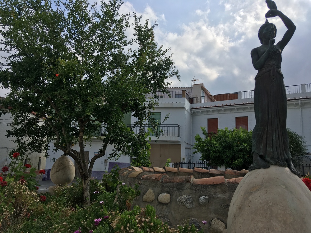 Restabal ‘something’ Restabal ‘something’ |
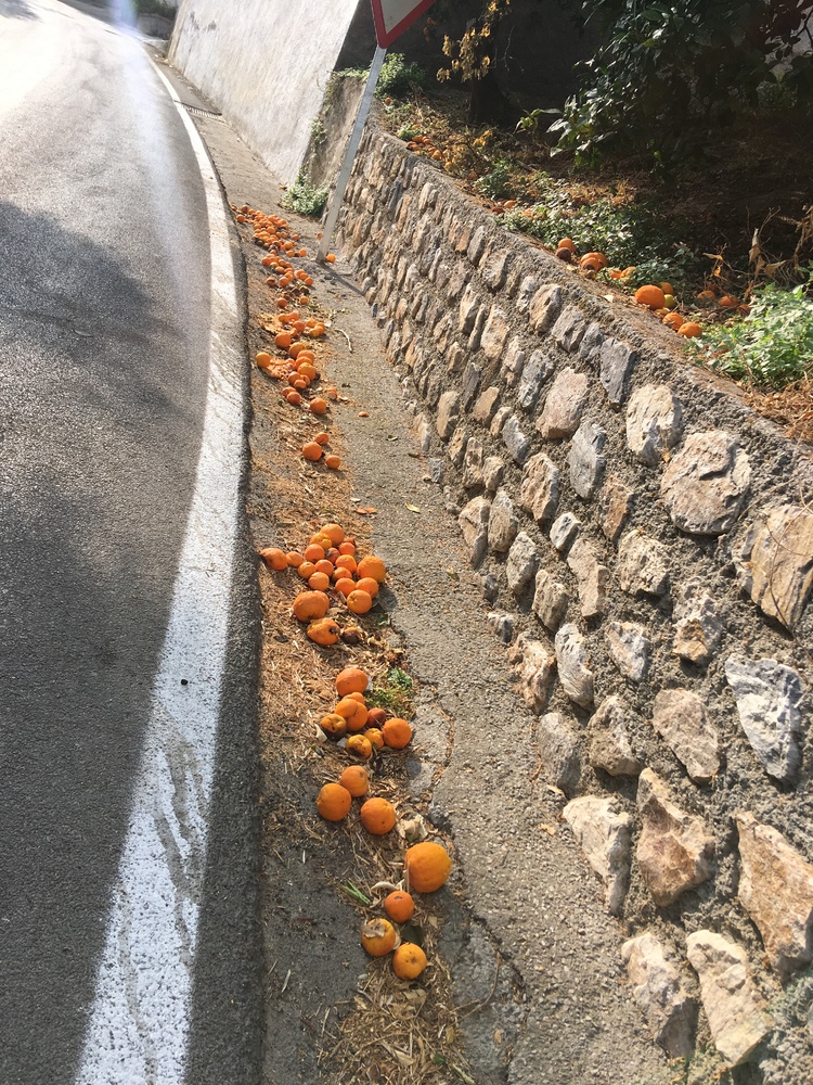 Dead oranges Dead oranges |
Now the final climb starts, it’s 8.24 km, averaging 4%. It’s steady, wending it’s way out of the valley, through Melegís and orange and lemon groves and packing sheds, past Chite, into Lecrín and Talara. There are excellent views over and down the Lecrín Valley towards the reservoir, Embalse de Beznar. Something to look at while you find your rhythm to cope with the heat and gradient.
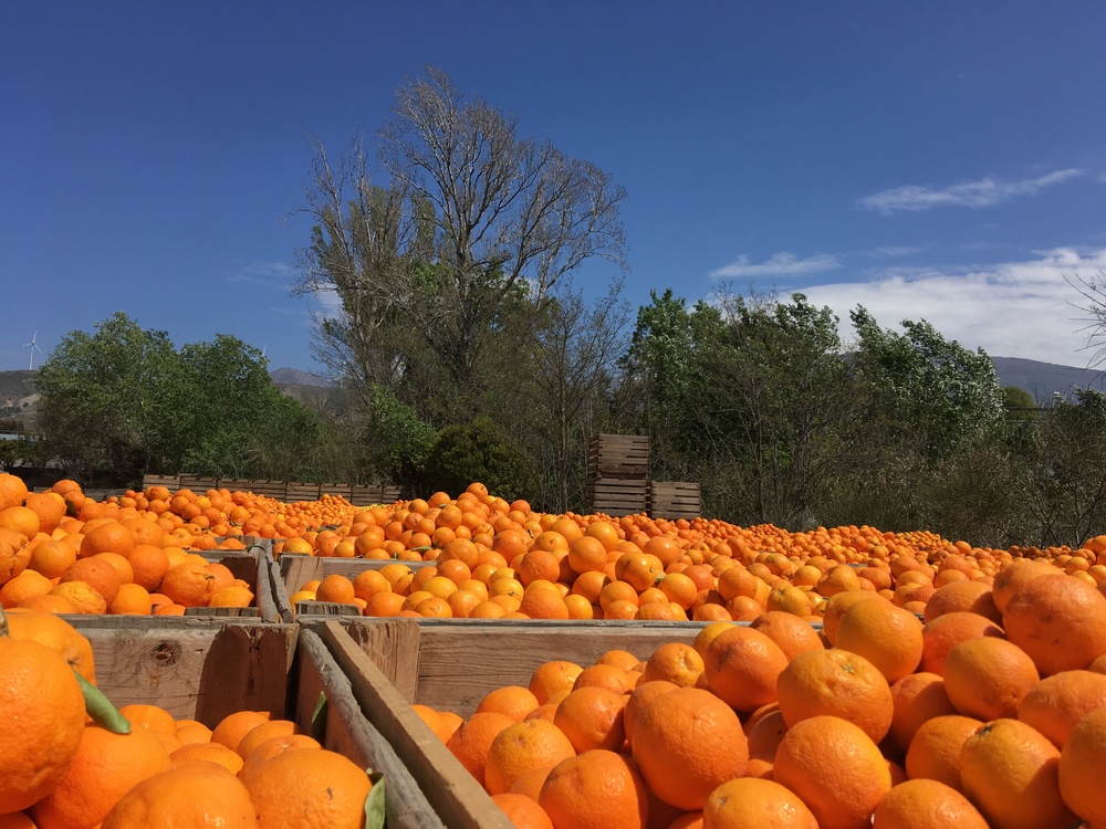 Oranges Oranges |
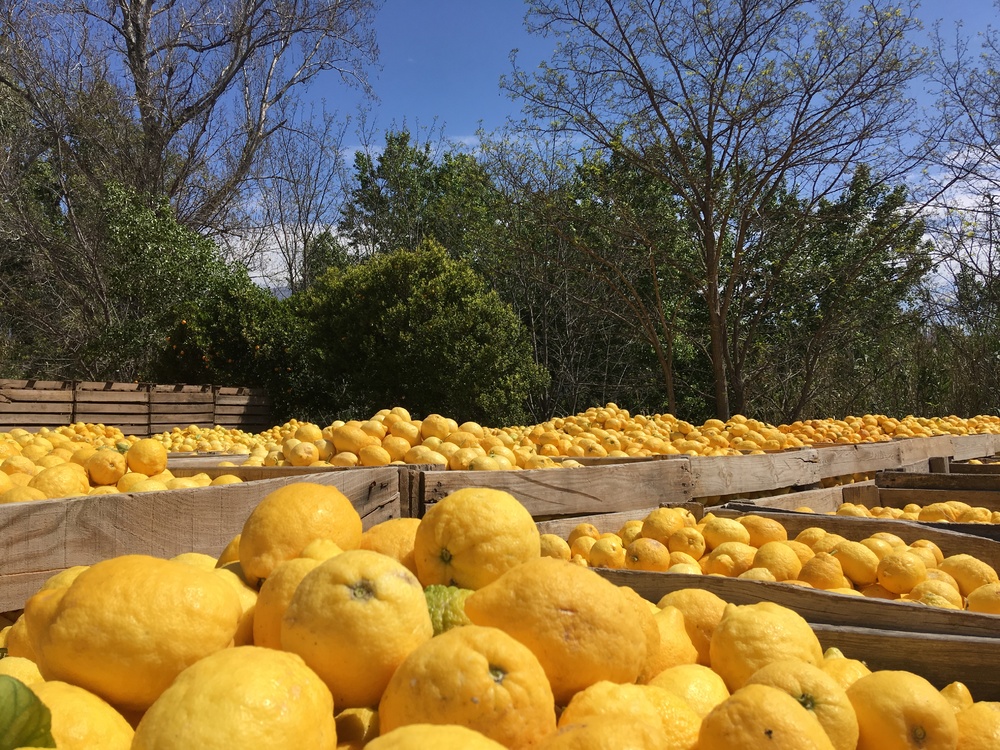 and lemons and lemons |
After Talara follow the Río Torrente valley road under the motorway viaduct, over the bridge and topping out at the bottom of the turn to Nigüelas. Then it’s down to the double roundabout at Mercadona, take care, it can be busy.
To finish off it’s the N323 main road back to Padul. Slightly downhill or flat(ish) so some speed can be gained if you want step on the gas but keep an eye out for the Río Dúrcal gorge below (there is a lovely waterfall much further up), spanned by the Puente de Lata (Tin Bridge), and the Laguna wetlands and peat bog on the left, outside Padul. Yes, peat bog …. in southern Spain. This is main road but is designated as ‘Tránsito Ciclista’ so the traffic is, very much, mostly considerate. It’s the route used by cyclists between Granada and the Alpujarras, buzzing with club pelotons on Saturday and Sunday. Into Padul and the last steep bits back to the house can be tough.
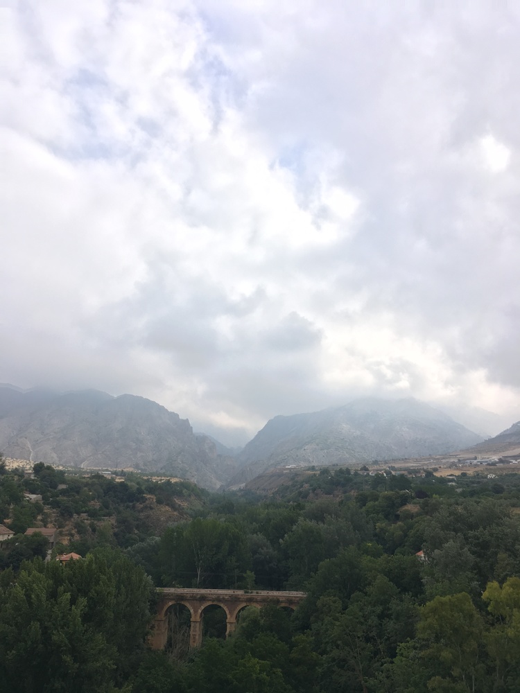 Río Dúrcal gorge Río Dúrcal gorge |
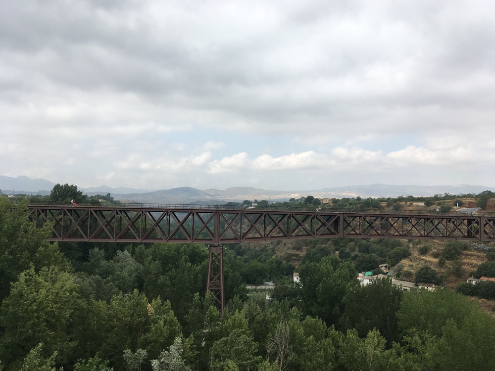 Puente de Lata Puente de Lata |
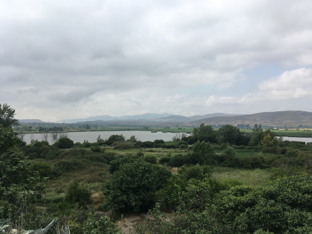 Laguna Laguna |
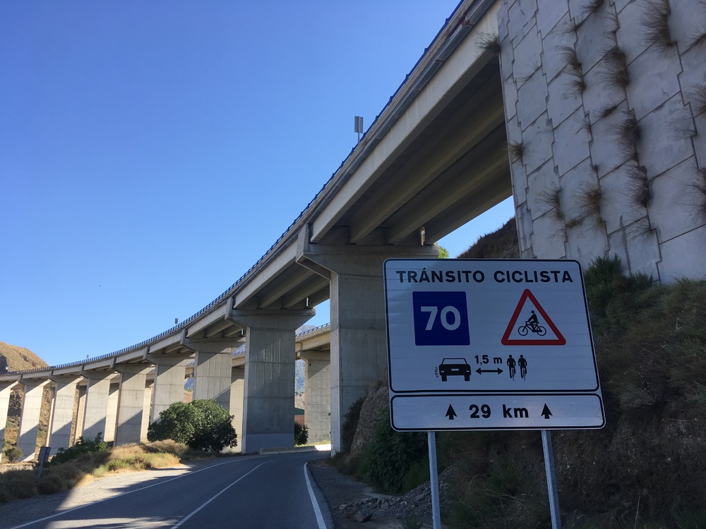 Ciclista Ciclista |
A very satisfying spin to start the day. If you would like to experience this ride and many others here then get in touch. I’m available for cycle guiding. I can help with accommodation or make suggestions. Airport transfers may be possible. I can provide a breakdown service. I can guide you through the Alpujarras or ride with you up Pico Veleta, where you can cycle up to just below the peak at 3396 m. Maybe some mountain biking on sections of the Trans-Nevada MTB trail. Padul is close to Granada if you fancy some sightseeing at the Alhambra. Or some walking, I don’t just cycle. Together, we can plan and customize your adventure.
A couple of bonus videos, click to play.
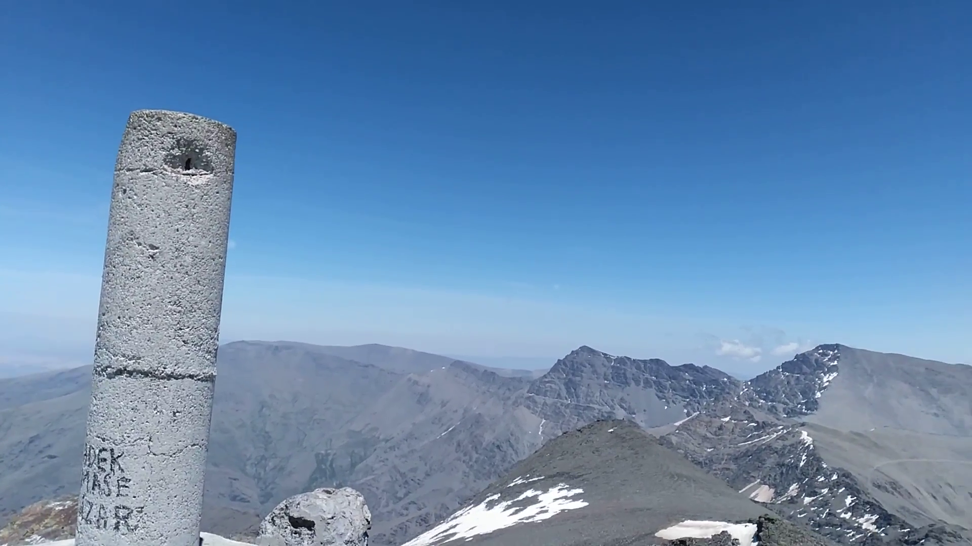 Pico Veleta Pico Veleta |
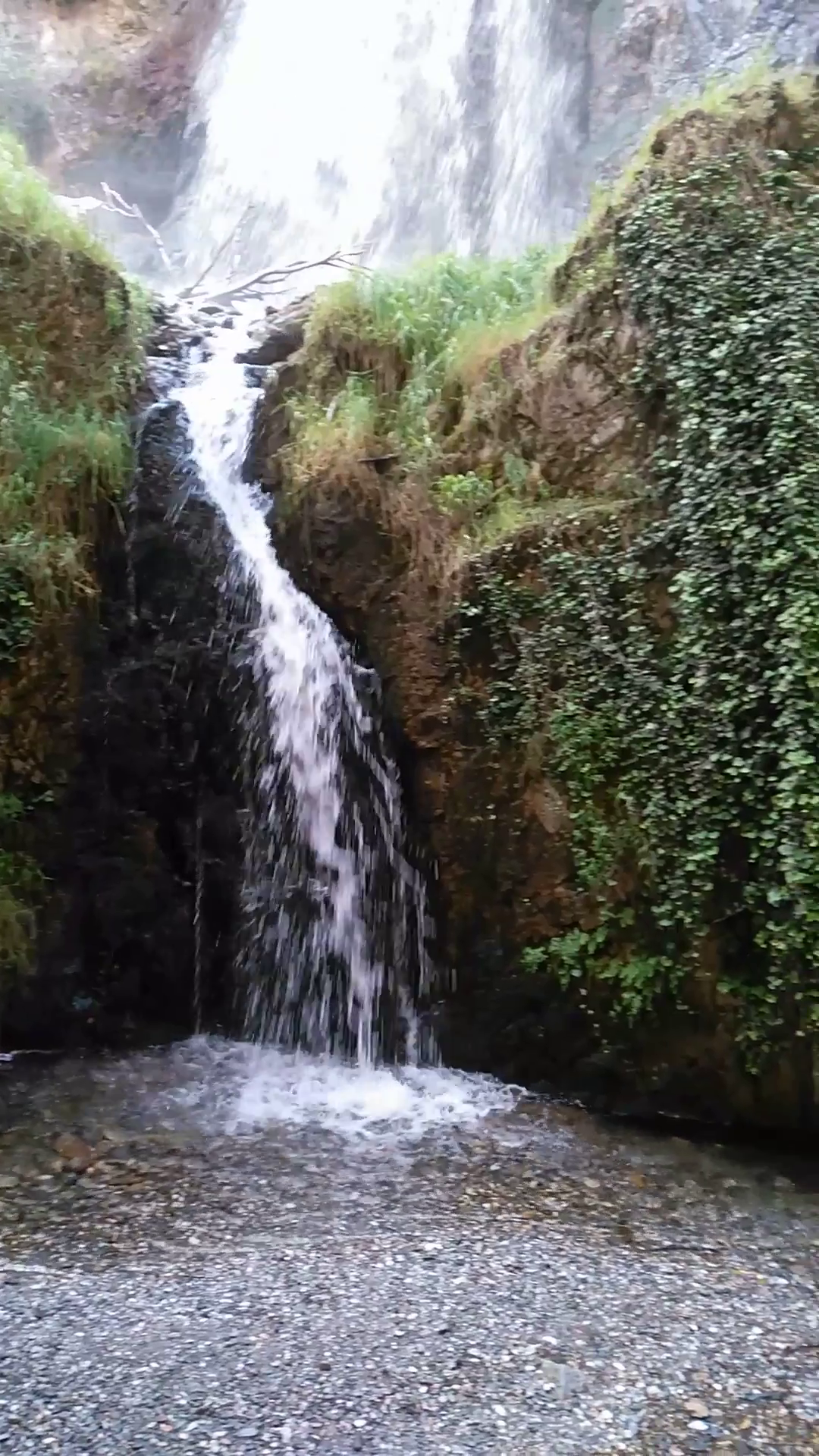 Río Dúrcal waterfall Río Dúrcal waterfall |
